ISRO’s CARTOSAT-3 imagery reveals earthquake damage in Mandalay and Sagaing cities, including collapsed landmarks and infrastructure.
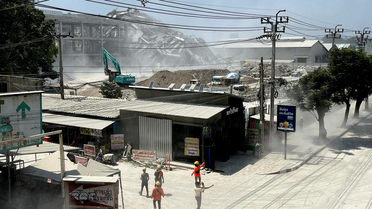
ISRO’s CARTOSAT-3 imagery reveals earthquake damage in Mandalay and Sagaing cities, including collapsed landmarks and infrastructure. India Science News | Latest Updates on Scientific Discoveries | The Hindu